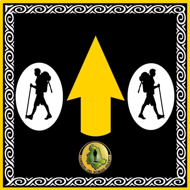
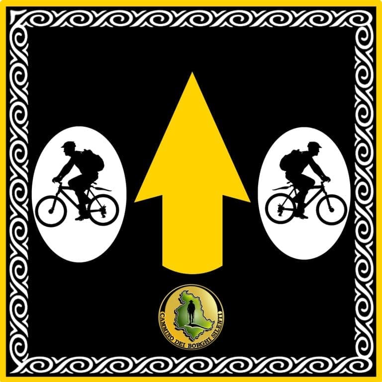
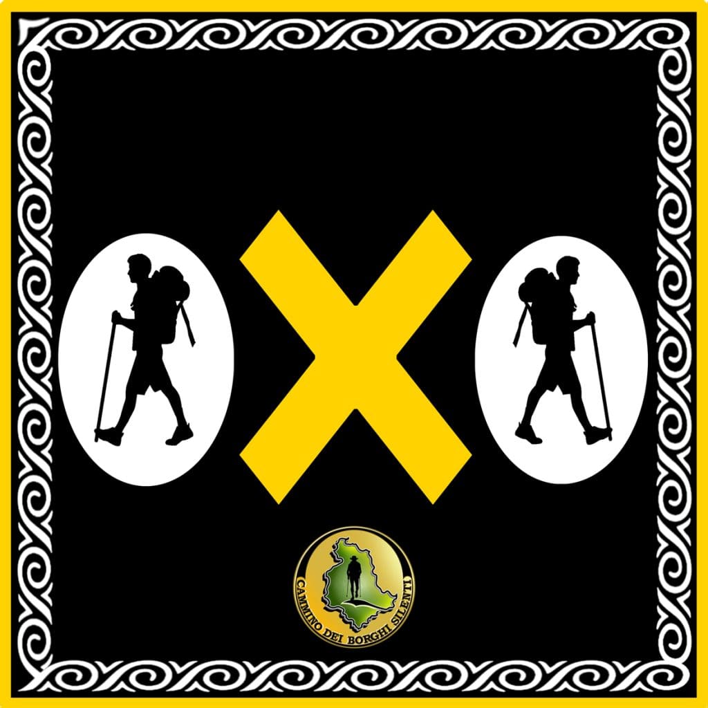
The trail is marked with stickers, arrows and yellow paint stamps.
It is recommended that only these signs be followed, ignoring any other signs along the roads and trails, which may mislead and off-track the path.
As some places are inaccessible and isolated, strict adherence to the signage indicated will avoid any problems whatsoever.
The yellow X stands to indicate that the path is incorrect.
The walking route is about 90 km long and is mainly on dirt roads, mountain paths and some short sections of secondary paved roads.
The Cammino dei Borghi Silenti is traced as a loop and revolves around Mount Croce di Serra, the highest point in the Amerini Mountains with its almost 1,000 meters in height; it is necessary to carefully follow the yellow-colored signs, as per the legend, as the trail runs through large uninhabited sections with long passages through the woods.